Understanding the Basics of a Trail Map
What is a trail map?
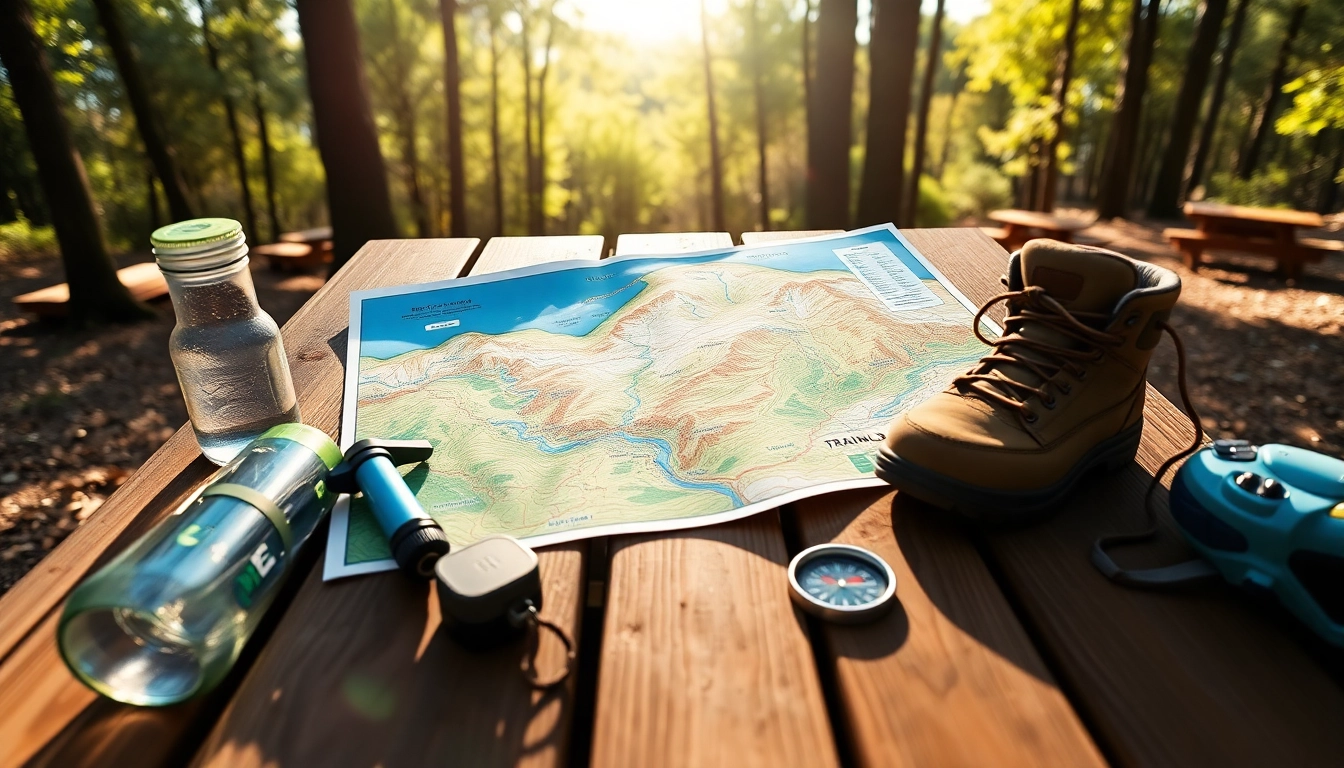
A trail map is a specialized map designed to illustrate and provide guidance on hiking, biking, or walking trails. Unlike standard maps that portray urban landscapes or geographical features, trail maps focus on the routes traversed by trail users, providing crucial details that help adventurers navigate their surroundings effectively. These maps can range from simple hand-drawn sketches to intricate digital displays replete with topo lines, points of interest, and more.
Elements of a trail map
Understanding the elements of a trail map is essential for effective navigation. Key features include:
- Trail Lines: Clearly marked paths that indicate the route.
- Scale: A scale bar that helps to estimate distances.
- Legend: A key explaining the symbols used on the map, from warnings to trail types.
- Elevation Contours: Lines that illustrate elevation changes; crucial for understanding terrain difficulty.
- Landmarks: Significant features like water sources, campsites, or parking areas that assist with navigation.
Types of trail maps
Trail maps can be categorized into various types based on usage and presentation. Some common formats include:
- Topographic Maps: These provide detailed elevation data and physical features, suitable for advanced hikers.
- Digital Maps: Accessible via apps and websites, often updated regularly, and equipped with GPS tracking.
- Printed Maps: Traditional paper maps that are easy to carry and do not rely on technology.
- Interactive Maps: Maps that allow for user interaction, providing real-time updates and allowing users to plan routes on the go.
How to Read a Trail Map Effectively
Identifying key features
Effective navigation begins with the ability to identify key features on a trail map. Start by examining the legend closely to understand what each symbol means. This knowledge will help in recognizing different types of trails, prohibitions (like bike or dog restrictions), and important landmarks. Spend time familiarizing yourself with the map before embarking on your adventure.
Navigating using terrain symbols
Maps often contain various terrain symbols indicating the difficulty level and characteristics of each trail. Learning to interpret these symbols allows hikers to assess whether a trail suits their experience level or physical capabilities. For instance, steep or rocky terrain might deter novice hikers, while wide, flat trails might attract families or beginners.
Interpreting distances and elevation
Understanding the distance markers and elevation changes is critical for planning your hike. Pay attention to the scale bar, which shows the real-world distance represented on the map. Use elevation contours to gauge any ascents or descents you will encounter, as elevation changes can significantly affect your hiking experience and time management.
Planning Your Route with a Trail Map
Selecting suitable trails
Choosing the right trail requires matching your fitness level, skill set, and interests with the options available on a trail map. Look for trails that align with your physical condition and experience. Beginners may prefer shorter, flatter trails, while experienced hikers may seek out longer, more challenging routes that feature steep ascents.
Checking trail conditions
Trail conditions can vary significantly based on weather, maintenance, and seasonal changes. Before heading out, check if the trail is open and if any advisories are in place. Many local parks, nature reserves, and trail organizations provide real-time conditions through their websites or social media channels. This proactive step can save time and prevent unexpected problems during your hike.
Utilizing additional resources
In addition to the trail map, consider utilizing other resources such as local hiking groups, guidebooks, or community forums. Engaging with other outdoor enthusiasts can yield valuable insights and additional information about the trails. For instance, you might learn about hidden gems, scenic viewpoints, or even less-traveled routes that are not detailed on traditional trail maps.
Best Practices for Using Trail Maps in the Field
Staying oriented while hiking
Maintaining your bearings in the field is crucial. Always start by aligning your trail map with the direction you are facing. Use a compass if available, and periodically check your surroundings to verify your location against the landmarks on your map.
Adapting to unexpected changes
Adventure often brings surprises, from sudden weather changes to unexpected trail closures. Being flexible and adapting your plans is essential. If a route is blocked or impassable, having a backup plan or knowledge of alternative trails can help you continue your adventure safely. Be prepared to make quick decisions that prioritize your safety.
Using technology with traditional maps
While traditional paper maps have invaluable strengths, integrating technology can enhance your trail navigation experience. Many smartphone apps offer GPS functionality, allowing you to track your location in real-time. However, be aware of potential limitations like dead zones without service. Maintaining a physical copy of the trail map is advisable in case your device fails.
Maximizing Enjoyment with Your Trail Map
Documenting your adventures
Recording your hiking experiences enriches your connection to nature and can help future adventurers. Take time to note key observations, memorable sights, and the personal challenges you overcame during each journey. Consider maintaining a hiking journal or using social media to document these moments creatively.
Sharing experiences with fellow hikers
Sharing your insights and experiences with the hiking community fosters camaraderie and encourages others to explore the outdoors. Contributing to forums, writing trail reviews, or participating in local hiking groups can expand connections and nurture a community spirit amongst outdoor enthusiasts.
Learning from trail map insights
Finally, take time to analyze your experiences with trail maps. What strategies worked for successful navigation? What pitfalls should you avoid in the future? Continuous learning from each hike enhances not only your navigation skills but also your overall outdoor experience. With each adventure, you become a more competent and confident trail user.